
Finding People Along an Encinitas Street
A street directory search should be a chain, not a single click. Begin with a standardized address and confirm that it falls inside Encinitas rather than relying on a postal city alone. The city contains Cardiff-by-the-Sea, Leucadia, Old Encinitas, New Encinitas, and Olivenhain, so the same modern city name can conceal older record headings. Keep the source date beside each result and record whether it describes land, a recorded party, a permit contact, a voter, or a listed historical occupant.
The strongest street-by-street workflow is:
- Enter the address in Encinitas Land Records, preserve the APN, situs, map position, and community layer, then click adjacent parcels as needed.
- Run the address, street name, or APN through the SDARCC secured assessment roll for assessed value and exemption context. The web result does not show the owner name.
- Use the Recorder's web index by known grantor, grantee, document number, or date. For a direct APN search, use an ARCC public kiosk because web APN searching ended December 9, 2024.
- Search City Customer Self Service by address or APN for permits, project dates, plans, and public contacts. Treat a listed role as project evidence, not a resident list.
- For older households, search city or suburban directories, census pages, newspapers, and local history under both Encinitas and the older community name.
The address is a key that joins records. It is not proof that every person linked to it lived there at the same time.
Turn an Encinitas Address Into an APN
The city Land Records viewer is the first address tool because it gives a map context. Accept the disclaimer, enter an address or ten-digit parcel number, choose the parcel, and inspect location information, APN, address, and land information. Map click lets a reader browse the area one parcel at a time. Layer List, Map Legend, Measurement Tools, and Print Map add context or produce a dated PDF with an optional subtitle. No login is required, and the application is free.
That map is richer than a ZIP search, but it is not a people directory. It can show geometry and land context. It cannot expose a complete household list. Use the APN as a join key for the county roll, tax information, permit search, and a lawful in-person recorded-document search.
| City map control | Observed behavior |
|---|---|
| Enter Parcel Number | Searches the ten-digit APN and opens a parcel result. |
| Enter Address | Searches a street address and may warn about multiple or missing matches. |
| Map click | Lets a reader select surrounding polygons instead of relying on a street list. |
| Layer List and Legend | Toggles mapped information and explains the displayed symbols. |
| Print Map | Creates a PDF map with an optional subtitle for a research record. |
The Encinitas community-boundary service shows why one city address may carry a Cardiff, Leucadia, or Olivenhain label.
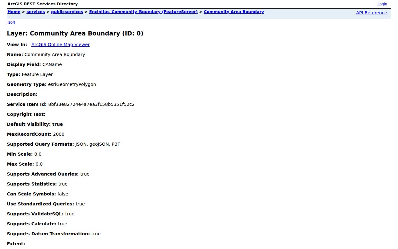
The map result also gives a clean way to document uncertainty. If an address returns several matches, keep each candidate until the street, APN, and map position agree. If no parcel appears, try the older community label or ask Development Services about address assignment. A printed map with a short subtitle can preserve the exact starting point for a later deed or permit search.
Encinitas Records Searchable by Street
Address-keyed sources overlap, but they do not answer the same question. The following coverage table is the working core of a street directory. It marks where the search begins, what the result means, and which gap remains.
| Record Set | Keeper | What It Shows | Access |
|---|---|---|---|
| Encinitas Land Records | City of Encinitas | Parcel geometry, APN, situs, mapped land context | Free address, APN, or map search |
| Secured assessment roll | SDARCC Assessor | Assessed value, exemption amount, lien-date facts | Free address, street-name, or APN search; owner withheld online |
| Recorded documents | SDARCC Recorder | Grantor, grantee, instrument, date, number, legal description in the image | Web name index from 1970; APN at five office kiosks |
| CSS permits and plans | City Development Services | Project scope, dates, inspections, and public contacts | Public address, APN, or map search; complete files by request |
| Historical directories | Libraries and societies | Listed name, address, occupation, spouse, or telephone at publication time | Shelf, digitized volume, microfilm, or appointment |
A parcel number can tie the city map to assessment and recorded-document work. A street name can guide a directory or newspaper search. A voter record is not an open public by-street list, and the County Recorder cannot turn an index hit into proof of current residence.
The county secured-roll form labels its search modes Parcel Number, Address, and Street Name. Parcel input uses at least eight digits with dashes. Address input needs the street number and name, while direction, type, and city are not required. Street Name is useful where a parcel has no number. Search, Clear, and result Print controls make a dated value snapshot possible, but the notice says the result is not a tax bill.
Why Encinitas Owner Names Disappear Online
The SDARCC secured-roll search offers three modes: Parcel Number, Address, and Street Name. A parcel number uses the county dashed format. Address search needs a street number and name, while direction, street type, and city are not required. Street Name helps when a parcel lacks a number. The result can show assessed values, exemption amount, factored base-year information, and reason for change. It warns that the page is not a tax bill.
California's online-address rules matter. The assessment website does not publish owner identity. Public information, phone assistance at (619) 236-3771, public kiosks, or a lawful recorded deed may supply the missing bridge. The absence of an owner name is a privacy design, not a broken street directory.
The SDARCC secured assessment roll is the official place to check address or APN value facts.
Walk the Encinitas Deed Chain by Address
The Recorder's Official Records Search reaches back online from 1970 and supports party name, document number, recording date or range, and document type. Search a known grantee to find a purchase, then search that grantor as an earlier grantee. Preserve document number, recording date, party roles, instrument type, and legal description. A grantor is the transferor. A grantee is the recipient. A deed chain is a sequence of recorded instruments, not a move-in log.
Since December 9, 2024, the public web search no longer accepts APNs because of AB 1785. APN searching remains at five ARCC office kiosks. That in-person bridge matters when an address is known but no party name is available. Copies can be purchased, and images can be viewed at office kiosks. Pre-1970 work shifts to historical indexes, deed books, and County Archives.
Refinances, reconveyances, interspousal transfers, trust deeds, and name variants can create entries without a new household. Compare chronology, legal description, vesting language, spouse or trust form, and APN. The county property-tax search is helpful for parcel liability, but it does not establish who occupies the structure.
The San Diego Treasurer-Tax Collector portal adds parcel-linked tax status after the map and assessment steps.
Read Encinitas Permits as Dating Evidence
Encinitas is paperless and uses Customer Self Service for building and development records. A public CSS search can use a map point, address, or APN. A result may carry a permit or record number, address or APN, application type, project description, status, application or issue date, completion date, inspections, related plans, and roles such as applicant, agent, designer, contractor, or owner where shown.
Those fields can date an addition, alteration, demolition, occupancy event, or plan change. They do not establish a continuous household. Complete permit histories and house plans may require a City Clerk request or Building Plan Copying request. Describe the address or APN, permit number, date span, subject, and requested format. Account actions such as applications and approved-plan downloads can require login.
Permit contacts are evidence of a project relationship. Keep that label in notes so a street directory does not turn a designer or contractor into a resident.
Account actions are different from public searching. Applications, invoices, scheduling, approved-plan downloads, and dashboard management may require a CSS account, while limited public record searching does not. Older paper files may still require a City Clerk request. Include the APN, permit or plan number, date span, subject, and requested format so staff can locate the right address file.
Historic Encinitas Streets in Directory Books
Older street records may sit under one of the five component communities. San Diego-area city, suburban, telephone, and criss-cross directories can show a listed name, address, spouse notation, occupation, business, or telephone at compilation time. The San Diego Public Library California Collection reaches from 1886 through 2021, while selected digitized suburban runs cover 1955 through 1960. Exact Encinitas inclusion varies by publisher and year.
Use the street section when the name section fails. Check the abbreviation key before reading marks such as “h” for home or “r” for residence or rooms. Try Coast Highway 101 and Highway 101, then test Cardiff, Leucadia, Old Encinitas, New Encinitas, and Olivenhain as headings. Pair a directory page with a census, deed, obituary, or permit before making a past-resident claim.
For the full historical shelf, the Encinitas city directory collection page follows the volumes and entry conventions. A current street directory should use that historical source as a lead, not rebuild the entire collection.
What an Encinitas Street Directory Cannot Show
A parcel map cannot list every person inside a building. The assessment site cannot reveal an owner name online. The Recorder index cannot prove a move-in date. City permits cannot prove who stayed at a property. Household members, minors, unlisted people, utility customers, and delivery recipients generally sit outside a public street directory. DMV address data is protected under the federal Driver's Privacy Protection Act.
Lawful use. Use address records for personal research, family history, estate work, property curiosity, and civic understanding. Do not use them to stalk, harass, intimidate, or harm anyone.
California also protects Safe at Home participants through a substitute mailing address. Do not try to reverse a protected location by combining a parcel, voter clue, directory entry, or business filing. Privacy limits are part of the Encinitas street directory, not an obstacle to work around.
Preserve an Encinitas Street Snapshot
A useful address record can be repeated. Save the standardized address, city community, APN in both city and county display formats, GIS capture date, assessment year, permit IDs, document numbers, dates, party roles, legal description, directory title and page, and census enumeration details. Note which facts came from USPS, City Development Services, the Assessor, Recorder, court, library, or historical society.
When two sources conflict, let the responsible custodian control that field. USPS controls delivery naming. The city controls address assignment and permit location. The Assessor controls roll facts. The Recorder controls indexed instruments. A directory controls only what it printed in its own year. That discipline keeps a street directory specific without overstating what an address can reveal.