
Encinitas ZIP Codes and What They Cover
The city's jurisdiction statement identifies two principal ZIP codes and five communities. This ZIP code directory keeps the postal layer distinct from the city layer, because the same ZIP can cross coastal, suburban, and semi-rural record patterns. Carrier boundaries can vary within a postal area, so an exact address still needs a USPS check.
| ZIP | Areas covered in Encinitas | Post office identity | Notes |
|---|---|---|---|
| 92024 | Encinitas, Leucadia, Old Encinitas, New Encinitas, and much of Olivenhain | Encinitas postal identity | Exact carrier boundary varies; postal city is not the city limit |
| 92007 | Cardiff-by-the-Sea and southern Encinitas area | Cardiff-by-the-Sea postal identity | Distinct postal community inside incorporated Encinitas |
Nearby 92009 may appear in boundary discussions or surveys, but the city source names 92024 and 92007 for its jurisdiction. Do not add it to an Encinitas ZIP list without checking the exact deliverable address.
92024 Holds Four Encinitas Community Names
The ZIP code directory is especially easy to misread in 92024. Encinitas, Leucadia, Old Encinitas, New Encinitas, and much of Olivenhain sit within a postal identity that does not erase their history. Coastal Leucadia and Old Encinitas have a different record age and density from inland Olivenhain. A historical directory may sort a household under Leucadia or Olivenhain even when a modern form says Encinitas.
That geography changes search terms. Try the community label, the postal city, the modern city, and the street name used by the record. Search both Coast Highway 101 and Highway 101. For a parcel question, use the city community-boundary layer and the APN rather than assuming a ZIP is precise enough.
- ZIP code
- A USPS delivery-routing area, not a list of residents or a legal city boundary.
- ZIP+4
- An extended delivery code that can narrow mail routing beyond the five-digit ZIP.
- Postal city
- The city name used for delivery, which may differ from the incorporated municipality.
- Carrier route
- A delivery path within a ZIP, not a public household directory.
Why Cardiff Keeps 92007
Cardiff-by-the-Sea retains its postal identity inside Encinitas. The city incorporated the five older communities together in 1986, but postal names continued to carry local meaning. A directory, newspaper, deed, census page, or business record can therefore use Cardiff even when the jurisdiction field says Encinitas.
When a name search fails under the city name, test Cardiff-by-the-Sea, the 92007 postal code, and the southern Encinitas description. A postal clue is a search aid, not proof of a person's location. Confirm the address through USPS and then use the record custodian that matches the claim.
Use USPS Lookup in Three Modes
The USPS ZIP Code Lookup is the authority for a deliverable address. Its By Address mode asks for a street and city or ZIP, with company and apartment fields as optional prompts. Its By City and State mode returns postal choices for a place name. Its Cities by ZIP Code mode works in the other direction, showing city naming tied to a ZIP.
A search should preserve the exact input and the result date. USPS separates postal city naming from municipal geography. That distinction prevents a postal city from being used as a claim about incorporation, community membership, or who lives at a location.
| USPS mode | Useful fields and purpose |
|---|---|
| By Address | Company optional, street required, apartment optional, plus city and state or ZIP. |
| By City and State | Finds postal ZIP choices associated with a named city and state. |
| Cities by ZIP Code | Shows postal city names connected to a ZIP code. |
For a name-led search, use the ZIP only to narrow the place. USPS does not publish a household directory through this tool. The city parcel map does not document a ZIP filter, and the county roll is address or APN based. That is why a ZIP code directory should hand a researcher toward an exact address rather than promise a list of everyone in the area.
Move From ZIP to Street and APN
No Encinitas public portal documented in the research returns an owner list for an entire ZIP. The city GIS viewer searches by address or APN and supports map browsing. The county assessment roll searches address, street name, or parcel number and returns value and exemption facts. The voter tool requires personal identity fields. ZIP is therefore a first cut, not the final resident lookup.
Use the following path when a ZIP narrows the geography:
- Verify the address and postal code with USPS.
- Check the city community layer to preserve Cardiff, Leucadia, Old Encinitas, New Encinitas, or Olivenhain.
- Open the city parcel map, save the APN and situs, and click adjacent parcels if the question is local.
- Move to the county roll, Recorder index, permits, or historical directory according to the fact sought.
The Encinitas street directory takes over once the ZIP has been reduced to an address. It is the place for the parcel and document chain, not a ZIP-wide roster.
ZIP Boundaries Versus Encinitas City Limits
ZIP boundaries are postal geography. City limits are municipal geography. Community boundaries, school areas, water and sewer districts, voting districts, zoning, census tracts, and emergency grids add still more layers. MyEncinitas and the city GIS can show those layers around a parcel, while USPS controls the mail code. A ZIP code directory should never describe the postal line as an annexation line.
Encinitas is effectively landlocked, and recent change is principally infill rather than large annexation. That does not create a verified ZIP split year. The research found no authoritative historical year for a citywide ZIP realignment, a unique local ZIP, or per-ZIP official population. Keep those gaps explicit.
Address authority depends on the purpose of the record. USPS controls delivery routing and postal naming. City Development Services and GIS maintain situs and parcel location data. The County Assessor maintains the APN and tax situs. Emergency addressing uses public-safety GIS. A legal description carries title continuity better than a ZIP code. Community, census tract, school, water and sewer, voting, zoning, and fire-grid layers may cross the postal line in different ways.
This is also why an old directory can appear to disagree with a modern ZIP code directory. The directory may have been compiled under Cardiff, Leucadia, or Olivenhain. A modern search may return Encinitas, a postal city, or a carrier result. Keep the source's original place name, then add the modern postal and municipal labels in the research note.
Three Postal Facilities Serve Encinitas
Postal facilities add helpful geography to a ZIP code directory. USPS identifies the Encinitas Post Office at 1150 Garden View Road, 92024-9998; the Leucadia Post Office at 1160 N. Coast Highway 101, 92024-9996; and the Cardiff-by-the-Sea Post Office at 135 Liverpool Drive, Suite A, 92007-1843. These addresses describe postal service points, not resident locations.
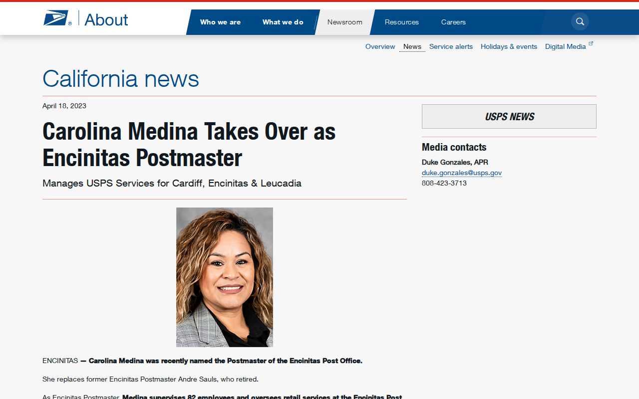
A 2023 USPS local release said the Encinitas postmaster oversaw Cardiff, Encinitas, and Leucadia delivery, forty routes, and more than 4,500 post-office boxes. Those numbers describe delivery operations at that time and should be dated when reused. A post-office box is a mailing channel, not proof of a person's home or presence in the city.
The USPS Encinitas delivery release documents the three facilities and the local delivery footprint.
Address Requests Preserve ZIP History
When a parcel lacks an address or an address needs review, Encinitas Development Services handles address requests through CSS. The city says there is no application fee and at least two weeks for departmental review. A request can require proof of ownership or signed owner authorization, a site plan with APN, parcel boundaries, roads, access, structures, and utilities, plus a subdivision map where applicable. For a parcel without an address, the PARCEL choice uses the ten-digit APN without dashes.
That file can preserve when an address entered the modern system or changed. It is stronger than guessing from a ZIP, and it can bridge older community names to a modern parcel. Ask the city for the address-assignment record when the ZIP, street, and legal description do not line up.
The request is a practical fallback when an address is missing or has changed. The city says there is no application fee and at least two weeks for departmental review. Proof of ownership or signed authorization, a site plan, APN, parcel boundaries, adjacent roads, access, structures, utilities, and a subdivision map may be required. For an unaddressed parcel, choose PARCEL and enter the ten-digit APN without dashes.
No Verified Encinitas ZIP-Split Year
The research did not find an authoritative citywide ZIP split or realignment year, a PO-box-only Encinitas ZIP, or a per-ZIP population table suitable for publication. Do not fill that gap with a neighboring ZIP, an undated map, or a commercial compilation. Use dated USPS results and official city or county geography for the specific address.
A ZIP code directory is most accurate when it states the limit plainly: 92024 and 92007 are the city-confirmed principal codes, but the exact carrier line and municipal line must be checked separately. Once a name search needs parcel detail, leave the ZIP layer and follow the custodian record.
Preserve the USPS result date, the exact address input, the city community label, and any APN that follows. If sources disagree, report both and let the responsible custodian control the field: USPS for delivery, the city for address assignment, the Assessor for parcel facts, the Recorder for instruments, and the library for historical directory context.